Haire Airport Weather ( TX33 ) Elev. 860 .... 8 mi. West of Sanger TX (NW Denton County)
( Lat: 33.341365 Long: -097.308483 )
(Haire Airport has closed as of Feb. 1, 2021 ... Weather reporting will remain)
Due to the end of support for Flash (Jan 12, 2021), my previous weather site has become inoperable. Below is a list of other sources for my weather data:
1) Weather Underground - https://www.wunderground.com/dashboard/pws/KTXSANGE1
2) PWS Weather - https://www.pwsweather.com/station/pws/HAIRETX33
3) Weather Underground 2 - https://www.wunderground.com/weather/KTXSANGE1
4) CWOP - http://www.findu.com/cgi-bin/panel.cgi?call=cw3518&units=english&xsize=1000 (On this page, you can adjust the size of the page to best fit your monitor size. Where you see "size=1000" at the end of the URL, you can change that number to make it smaller or bigger. The "1000" figure is sort of an average setting.)
5) CWOP 2 -
http://www.findu.com/cgi-bin/wxpage.cgi?cw3518
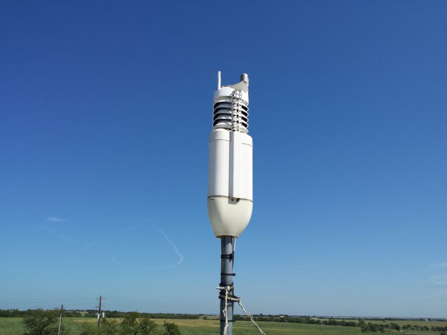
Weather Data Provided by a WeatherHawk 521
Weather Software - Virtual Weather Station
Email Questions/Comments to: tx33wx@richardsweather.com